This time of year we are all playing the guessing game of what trail are clear of snow and what still has thigh deep post holes designed to cut shins with crystalized snow.
Here’s a few ideas in and around Missoula that may keep you running snow free. Please remember that if you do encounter mud, snow, or puddles stay on the trail! Run over the snow, through mud, and ankle deep in that puddle. If you have any recommendations to add please let me know!
- North Hills – the north hills/waterworks area is almost completely devoid of the white stuff. One or two drifts near the Homestead are easily navigable over the top, otherwise the North Hills are free.
- South face of Jumbo – the Jumbo South Zone is now open! Everything from the Cherry Street Trailhead is free of snow and pretty dry. If you’re planning on pushing over the summit to the saddle, however, be prepared for some deep postholing!
- Blue Mountain – most of the lower trails are free of snow. Depending on how high you go keep an eye out for lingering snow banks and wet trail. You’re gonna get wet!
- Rattlesnake – A lot of the lower Rattlesnake Recreation area is snow free, but there is some ice tucked in shady spots. The south facing trails above Sawmill Gul

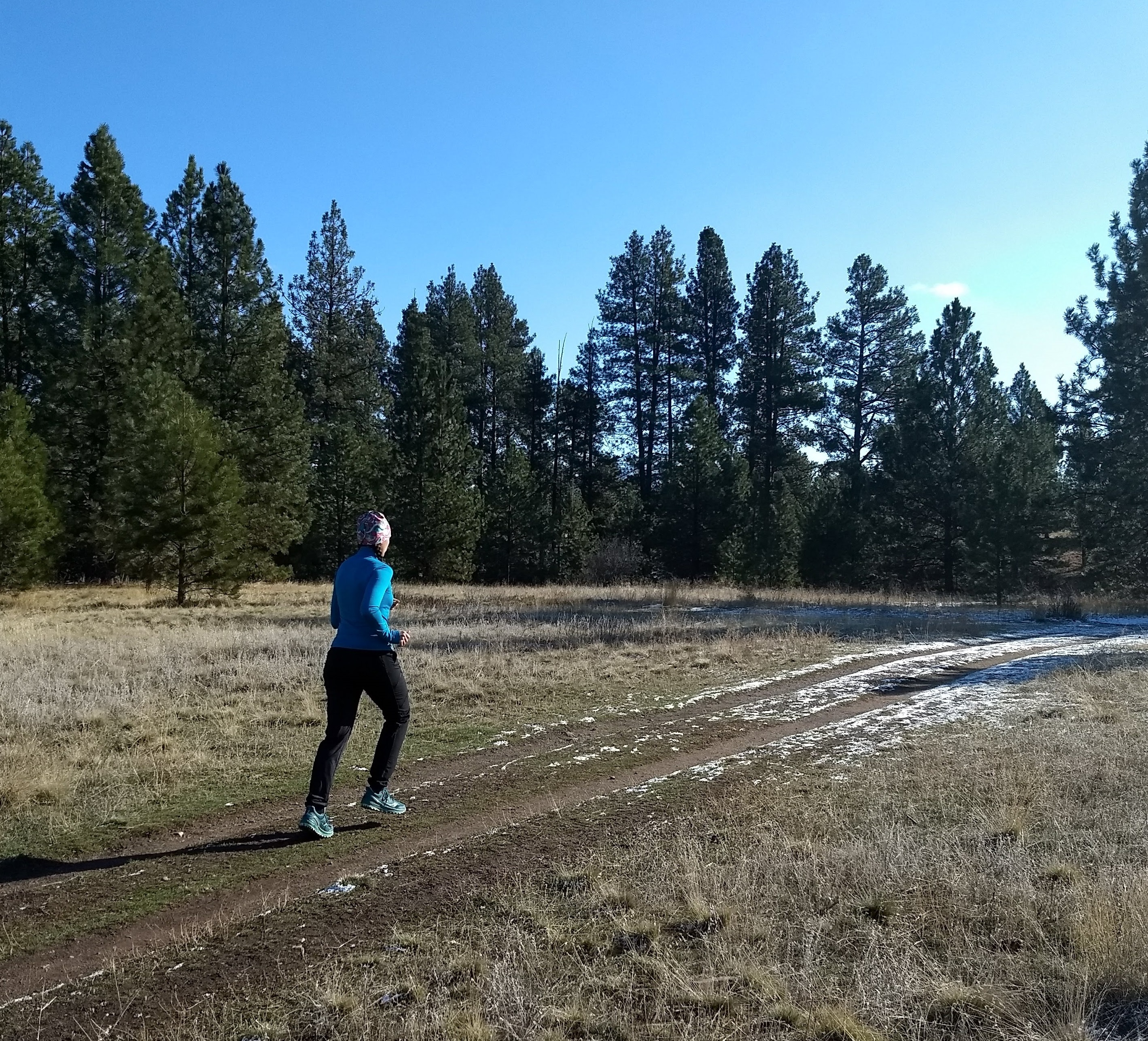
Photo courtesy of Lee Macholz
ch are surprisingly dry.
- Larry Creek Loop – Larry Creek is a hidden little gem at the mouth of Bass Creek. It’s south facing and melts out quick. This six mile loop is worth the drive.
- Sentinel – Mount Sentinel is clear to both summits and actually dusty in a few spots now. Seeps at the bottom of the Mo-Z trail add some moisture, but pretty much everything on Sentinel is snow free, just be cautious when considering adding a beacon lap or descending the upper part of Smokejumper.
- Little Park Creek/Inez Creek – both of these trailheads up Miller Creek Road melt out early and offer gradual climbs uphill. Be aware that you are sharing these trails with tics, but it’s still very much worth it!
- Barmeyer Trail – Is pretty easily traveled now, plus if you make it to the lookout you can see the work Montana Trail Crew just did to re-veg the road cut.
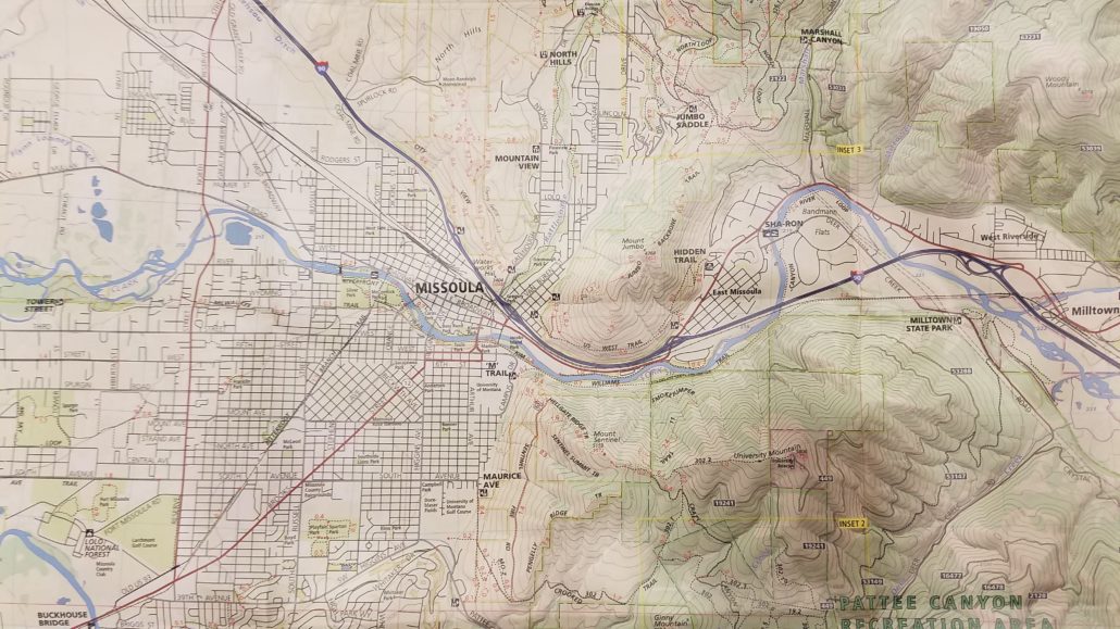
If you have any questions on where these trails are either give us a call, or take a look at the Cairn Cartography map of the area (the featured image). We can point them out to you on the map as well!
Happy Trails!